Tuesday, May 14, 2013

Sedona Hiker Does Antelope Canyon, Horseshoe Bend and Lake Powell

Horseshoe Bend - Colorado River
The Sedona Hiker is focused on hikes in Sedona, AZ, but I am going to make an exception to share our recent trip to Page, AZ.


With all of that beauty stored in our cameras, it seemed right to share some of it with you!  

If you haven't visited this part of Arizona, you really must! 

Page is within driving distance of Utah and its numerous parks (Bryce, Zion, Arches, Canyonlands, and more). 

It is also within driving distance of Monument Valley (made famous as the backdrop for many Westerns). 

Lake Powell and the surrounding landscape also appear in numerous movies. But, for those of us who love nature, there's nothing like seeing it for yourself!

We arrived in Page in the afternoon and stayed that night and the following night. In that time we were able to see some beautiful sights.

  • The Horseshoe Bend Overlook on the Colorado River
  • Sunset over Lake Powell and the surrounding area
  • Boat trip to explore beautiful Lake Powell
  • Photography Tour of Upper Antelope Canyon

Rock Formation at Horseshoe Bend Overlook


Page, AZ is an interesting town. The town originally housed the people who built the Lake Powell Dam in the nineteen fifties and sixties. 

Today, it is a tourist town that is surrounded by the Navajo Nation.


80% of the children in the local high school are Navajo and many of the tourist services are provided by Navajo who live on the reservation. 

The dam at Lake Powell supplies power to surrounding states, but not to the Navajo Nation. 

The Navajo Generating Station stands tall over the Page landscape. It is a coal-fired power plant that provides power to surrounding states and localities but NOT to the reservation. 

Waiting for Sunset


The Wahweap Marina offers private boat rentals and tours of the lake. 

There are numerous chain hotels in the area and a beautiful resort on the water. 

We stayed in the old housing district, which is comprised of buildings that housed dam workers. These buildings have been modestly updated to serve as motels.

The rooms are simple but functional and provide efficiency accommodations with kitchens, linens, dishes, etc. 
Navajo Tapestry Along Lake Powell

We took a short boat tour of Lake Powell and saw a sampling of the surrounding rock formations that were once the walls of Glen Canyon, named by the explorer, John Wesley Powell.

If you have the time and the inclination, you can rent a boat and explore the many side channels and tributaries around the lake, and pull your boat up onto an outcropping or small beach to enjoy the sun and the view.

The surface of the lake is 350 feet above the floor of the original canyon.


Far and away the most arresting sights in this wonderful area are hidden away in slot canyons.

We took the morning photography tour in Upper Antelope Canyon. 
Entrance to Upper Antelope Canyon


These tours are only available through tour groups because the canyon is on tribal land. Your tour price will include a permit fee to gain access to tribal land.

The hike into Upper Antelope Canyon is all at ground level so anyone can enjoy the sights. 

As long as you are able to walk on your own, you can participate in this trip. 

There were several small children and infants who took the tour, so there doesn't seem to be any restriction on age. 


The upper canyon photography tour doesn't require climbing or challenging physical conditions BUT, it is a bit chaotic. 

In order to get the best pictures, you'll want to listen carefully to the guide when he/she provides instructions about camera settings. 

The light appears and fades quickly inside the canyon and you will miss that perfect shot if you don't pay attention. 

If you want to get the most out of the visit, move quickly when the guide tells you to HURRY. 


The light beams appear at a specific time and they shoot into the canyon like laser beams! 

The native guides will move you back and forth throughout the canyon, timing the light beams with exact precision. 

They will throw sand up into the light beam to better highlight the rays so you can get good pictures. They know their stuff!


Because of the increase in international travel marketing and all of the beautiful pictures of Antelope Canyon on the internet, the canyons are now crowded with visitors. 

We were there in May (summer is busier) and the canyon was filled with people. We heard accents from all over the world!

Light Beams in Upper Antelope Canyon


Every group has a guide and each group will maneuver around the other groups to be sure that every visitor sees what they came to see. 

You'll also pass tours that are not focused on photography, and while they are not wielding cameras, you will have to deal with the additional crowding. 


In some areas, the slot canyon is only wide enough for two people to pass, so it can be a bit tight but somehow the Navajo guides get it done - moving the groups back and forth with precise timing. 

We had hoped to hike Lower Antelope Canyon the following day but we weren't able to go. 

Lower Antelope Canyon is also tribal land, and your tour price will include a permit fee. But, here you must pay by traveler's cheque or cash.


This hike is also on flat ground. We were told that it is more strenuous than the upper canyon, because you have to climb down ladders that are bolted to the cliff face in order to get to the bottom. 

Once there, the hike is supposed to be an easy walk, but we can't confirm this because we weren't able to go.

Our sources also said that Lower Antelope Canyon is wider on top so you won't get the same light beams and stunning array of shadows, but they say it is very beautiful and well worth your time. We hope to return to take this hike at a later date.

The trip to Page and the surrounding area is rewarding, and you will make some great memories there, even if you aren't an avid photographer. 


Saturday, April 27, 2013

Marg's Draw

Thunder Mountain


Marg's Draw is a great hike. It's not too short and it's not too long (whether you do the north or the south fork, you will travel a little less than 3 miles round trip). 


There is an interesting story associated with this trail. Marg was a mule, owned by the first recorded Sedona settler, Abraham James. When Marg didn't want to work, she would follow this path up into the evergreen near the red rocks and hide from her master. Hence, the name: Marg's draw. 


Views of Uptown and the Red Rocks


Like Marg, I was drawn to this trail. 

The first part of the trail is the most challenging with small and medium sized rocks underfoot. The hike is listed in most hiking books as 'moderate' but much of the trail is pretty easy going. 

Those with bad knees or lower back or ankle issues will want to be careful on the uneven footing at the beginning of the trail. 


Large rocks form stairs and require a bit of maneuvering as you go uphill. Once you are past this section, the trail is easier. It flattens out and winds through evergreens, yucca, agave and manzanita. 


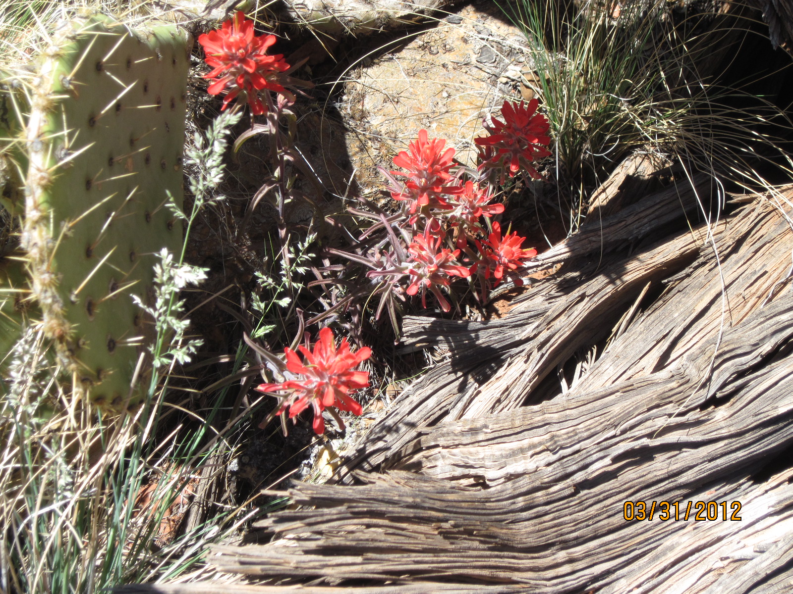
Late April is a beautiful time to hike this trail.  You'll find delicate white and yellow flowers and small bushes with pretty purple foliage. 

The trail winds through beautiful red rock areas with views of uptown Sedona. Although it is relatively close to town, the foliage covers much of the residential and commercial scenery so you can enjoy the natural environs. 


Cathedral Rock in the Distance


At the trail split, we took a left and headed toward Schnebly Hill Rd. 

If you bear right at this point, the trail will take you toward Broken Arrow (a very popular hike among Sedona visitors and jeep tour companies). 


Along the way you'll be treated to views of Chimney Rock, Cathedral Rock, Thunder Mountain (the ubiquitous monument that seems to be in view from every trail), and close up views of Snoopy Rock in the bargain!

Snoopy Rock


Follow this trail until you reach Schnebly Hill Rd. If you cross this road and continue on, you will intersect with Huckaby Trail. 


Marg's Draw is a favorite!

Saturday, April 6, 2013

Cockscomb, Dawa, Cypress, and OK Trails


Our hike today covered numerous trails and started from the Cockscomb Trailhead. The Cockscomb Trail is listed as moderate in the hiking books and easy/moderate on maps. 

For those who don’t like the uphill, uneven surfaces of many of the Sedona trails, Cockscomb is perfect. 

There is a bit of an ascent here and there but for the most part the path up and down is gradual and the path is smooth without a lot of small rocks to throw you off balance or large rocks to climb.


Cockscomb
You will have views of Cockscomb (aka he Young Maidens) and of Doe Mountain and Bear Mountain. 

When the path rises, you will have views of Thunder Mountain, and even Courthouse Butte, Bell Rock and Cathedral Rock in the distance on your right. 

Courthouse in the distance


You'll see some evidence of past fires and, if you are visiting during the Spring, you'll be treated to lots of white, yellow and purple flowers. 


Chimney Rock in the background


Cockscomb crosses a few small washes and eventually comes to a barb wire fence with a good sized fence post and a large rock where you can rest under the shade of a tree. If you turn back here and retrace your steps the hike will be a pretty easy one.

If you choose to go on, you can intersect with Dawa Trail. We took the left turn at Dawa and followed it along a path to cross some good sized washes (I wouldn't recommend this hike during monsoon season as these washes are large and would be impossible to cross if the water is rushing).

If you are a rock collector, you may want to pause in the large washes and look for specimens of jasper and other local minerals. We found some beautiful yellow and green jasper along the way!

Dawa winds around and eventually becomes a more challenging path for those hikers who have problems with balance or hiking trails with some ascent and descent and uneven surfaces. It is by no means a difficult trail but you will have to take your time if your knees or low back are a problem or if you have balance or ankle issues. Step carefully and watch where you are walking and you’ll be fine.

Cypress Trees
Dawa intersects with Cypress trail which is a smoother path with a lot of sandy surface. It will take you you along a path where you can see some large cypress trees which are not common in most parts of Sedona.

This trail intersects with OK Trail. If you follow this out to the trailhead you will find yourself back at 152C where you can walk the paved road back to the Cockscomb Trailhead. 

If you take this route be prepared for a long walk back to your car. The route is several miles long and, during the height of hiking season, there are a lot of cars traveling the road so you'll need to be careful to walk on the shoulder. 

Much of the road is flat or downhill but once you reach the stop sign and turn left to continue on 152C you will face a gradual climb that becomes a more extreme ascent up onto a good sized hill. 

All in all, this hike took us about 4 hours but, if you wish to shorten and simplify the trip, you can turn back at the barb wire fence on Cockscomb and still see some beautiful scenery without wearing out your hiking shoes!

Wednesday, October 31, 2012

Adobe Jack Trail - October 13, 2012

Adobe Jack is one of the new trails in Sedona. Like all the other new trails created in the last year or so, it isn't in the hiking books yet but, if you are coming to Sedona soon, you can purchase a laminated map that will show you where to go. 

The trail head for Adobe Jack and several other new trails is at the crest of the hill on the left side of 89a just before you head down the hill into Sedona Uptown. The parking lot is not large but there are plenty of spots for the number of hikers now using these trails. 

The nice thing about the new trails is that they have yet to be discovered by most of visitors. If want a quiet, peaceful hike without a gang of hikers ahead of and behind you, these trails will give you what you are looking for.


Right now, the trail markers are few and far between, and the wire baskets filled with red rock that mark most of the Sedona trails are not yet installed.

Having said that, we had a good time hiking this trail. We did get off course because of the limited markers and ended up taking the path of a wash rather than trampling the vegetation. It was a beautiful day, as most are in Sedona!

This trail does have some great views of Ship Rock and the other red rock formations. It is not in a wilderness area of Sedona but is closer to the city and residential neighborhoods so your view will be dotted with houses.

For those who don't have the time or inclination to head out into the surrounding areas for a hike, Adobe Jack is a good choice. 

There are several intersecting trails and a couple of washes with interesting names like Crusty Creek. It is close to town and to the local hotels and restaurants and you can experience a taste of Sedona hiking and spend only an hour or two in the process. 

If you choose to hike the full length of Adobe Jack or explore the intersecting trails it will take longer but there is a loop trail that will let you enjoy the views and take you in and out without having to back track. 

We will definitely return to follow the path of the real trail and report back with more information. 


Thursday, April 5, 2012

Coffee Pot Trail


Coffee Pot Trail - March 31, 2012 


Last week we tackled Coffee Pot Trail (the second of the 'easy' trails we picked from our hiking book). Can you spot the coffee pot in the picture above? 

This one truly is an easy walk and the views are beautiful. The trail is marked with the traditional red rock baskets in some spots, but in other spots you might wonder if you are going in the right direction. You'll see markers for Thunder Mountain Trail, Tea Cup and others but not for Coffee Pot. 

Never fear! Pay attention and look for the unmarked split in the trail. You'll see a bush with a ring of rocks around it. Stay to the left here and wind around. Eventually, you'll get the Coffee Pot red rock formation in your sites and head in that direction to begin your trek up the red rock. 


When you get to the apron of the rock formation, you will walk across some flatter areas of rock and test your balance on some narrower, rounded mounds of rock that climb up toward the base of the Coffee Pot. Like all the rock formations in Sedona, the shape and look of the Coffee Pot will change as you see it from a different perspective. 

Eventually, you will find yourself standing directly under the spout of the pot (which by now looks nothing like a coffee pot) and you'll have great views of Court House Butte, Snoopy Rock, Ship Rock and the valley. Uptown Sedona is hidden behind a ridge and, from this vantage point, it doesn't seem to exist! 

If you take your time and stop along the way to take lots of pictures (like we did), you will get there in about an hour (the trek is only about a mile). The trip down to the parking lot will take you about 45 minutes. 


Sedona attracts many visitors from all 50 states and from many countries. Our hikers are friendly and helpful. Don't hesitate to ask directions. Bring your hiking book or map and lots of water! Once you have hiked among the red rocks, you will never be the same! 

Sincerely, Sluggish Sam


During our climb, we were treated to a view of some skilled rock climbers, scaling the tall rock in this picture to get to the small knob on the top! 

Submarine Rock Hike


At the beginning of this year, I decided to take up the task of completing every documented hike in Sedona, AZ. If you know Sedona, you know that it is one of the most beautiful places on earth. I am very fortunate to live here with my husband and we both love the area. Work takes us away from nature and why ON EARTH are we living here, if not to enjoy the paradise around us? 

SO...I decided to grab my old hiking book and pick a hike (easy hikes for starters). While we have already completed a number of hikes since we moved here in December 2006, we will probably do these again to document them. We took our first 'scheduled' hike on 3/10/12 and we will continue to schedule our hikes as often as work and time permit.

Join us in the adventure!

Submarine Rock - March 10, 2012
This hike is listed as 'easy' in the hiking book, and some of it certainly IS easy but some of it is what I would consider moderate. I am not in the best physical condition and, hopefully, this project will help me get in shape. Still, there are a few spots on this trail where you will have to climb up on the rock...hands and knees...or slide down in order to save knees and back and ensure you will not fall. The main issue with calling this hike 'easy' is that, if you really want to see the view from Submarine Rock, you will have to climb up to get to the top. So, if you aren't able to make the climb, you could get to the rock and find yourself looking up at everyone else while they take pictures and smile at their accomplishment! 

The trail is not marked well in some spots, so you run the risk of heading to Chicken Point and having to double back. If you make it to the top, you will find some great views. Submarine Rock shares part of the Broken Arrow trail which is the stomping grounds of Pink Jeep Tours. So, be prepared to stand on Submarine Rock and watch the jeeps crawling their way across the rocks on the opposite side of the valley and down via a rather hairy trail which makes everyone on the jeep squeal! Sound carries in these canyons and valleys so you will be regaled with laughter and screaming while you sit on Submarine Rock and take in the view! After you climb down the rock, take the jeep road out to the parking lot. It is faster and easier than the way you came!

If this blog, or the pictures of Sedona you find on the internet, makes you want to come to Sedona and hike, be sure you bring plenty of sunscreen, water and good hiking boots! We'll see you on the red rocks!

Yours truly, Sluggish Sam